The Trip – Part 19: The San Juan Islands and Mt. Rainier
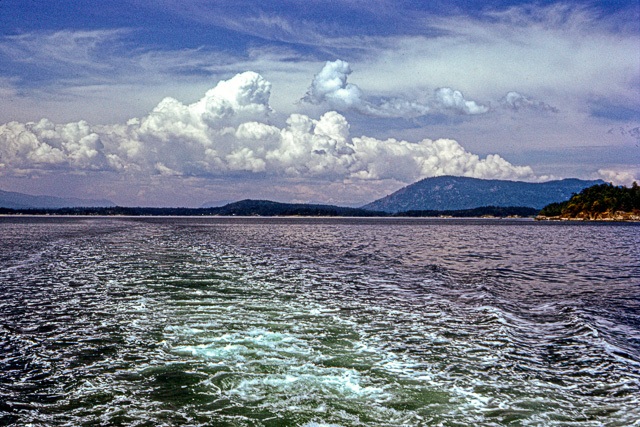
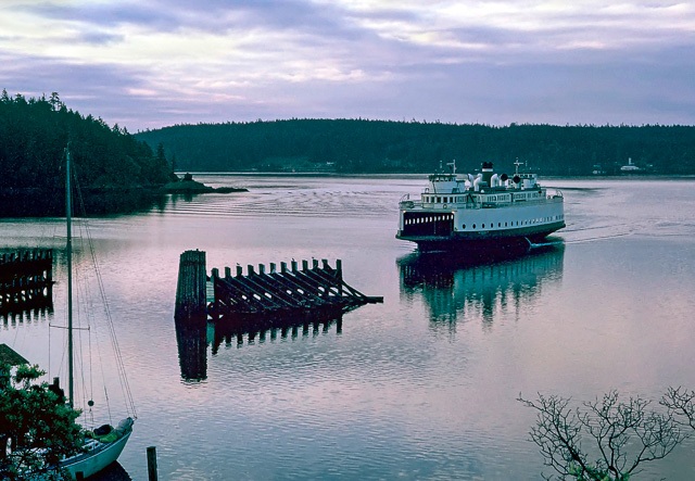
We caught a ferry that would take us to Orcas Island, the largest of Washington’s San Juan Islands. For some strange reason, the San Juan Islands reminded me of an old political slogan from high school history class: “Fifty-Four Forty or Fight!” It had to do with the US-Canadian battle over the location of the border between the countries. Canada wanted it to be at 42 degrees north latitude but the US wanted it to be at a latitude of 54 degrees 40 minutes. The Oregon Treaty finally set it at 49 degrees and had it go south in the Strait of Juan de Fuca so that Vancouver Island was entirely in Canada. But, nothing was said about the San Juan Islands, which are in the strait. Finally, an arbitrator and a three-man commission ruled in favor of the US.
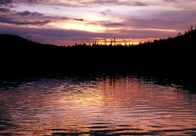
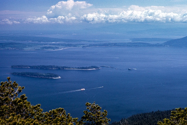
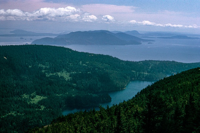
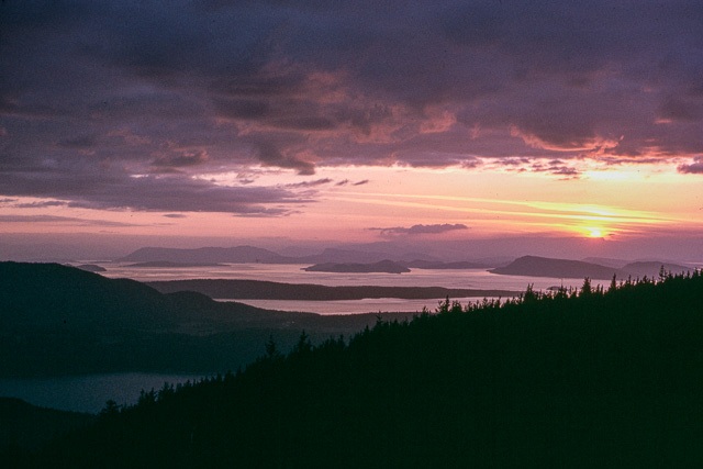
We found a campsite in Moran State Park and settled in for a couple days. The first night we enjoyed a colorful sunset over Cascade Lake. The next day we drove around to explore the island and eventually made it to the top of Mt. Constitution, which, at an elevation of nearly one-half mile, is the highest spot in the San Juan Islands. We enjoyed another nice sunset from that vantage point.
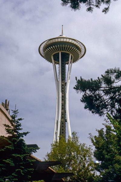
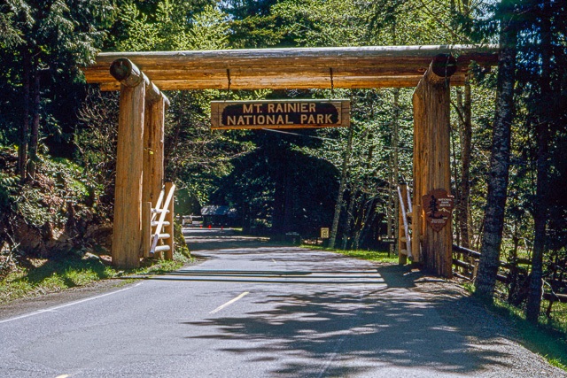
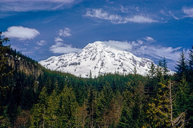
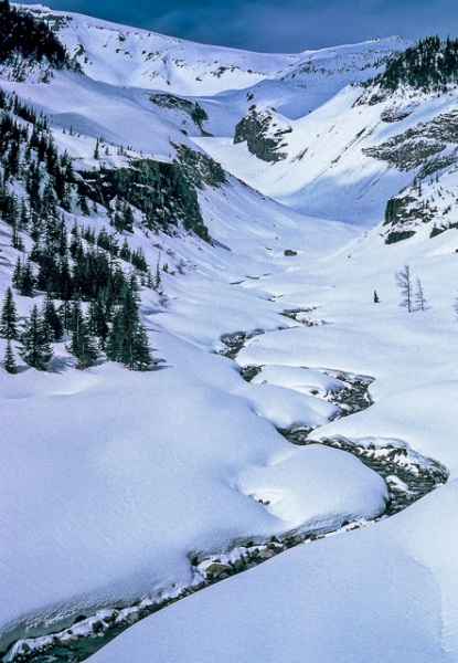
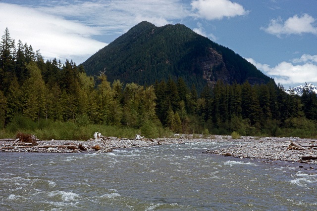
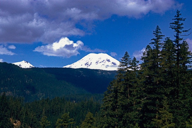
We took a ferry from Orcas Island to Anacortes, Washington. After stopping briefly in Seattle to see the Space Needle, we continued on to Mt. Rainier National Park. We were lucky that it was mid-May because, even though the mountain was heavily covered in snow, most of the roads were open. Small creeks were starting to flow and carry the snow melt down to the rivers below.
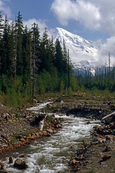
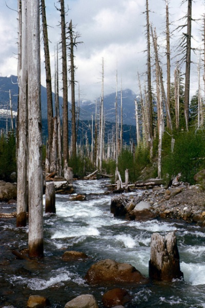
In one location we observed an area where a creek was flowing through dead trees. They had been killed by a mud flow that raced through this area some years ago. If the mountain ever heats up again, many such mud flows will strip the vegetation on the sides of the mountains.
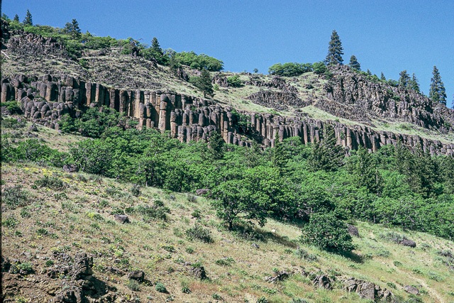
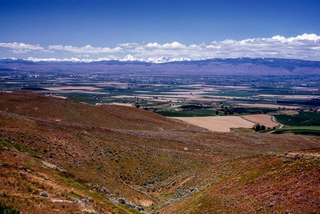
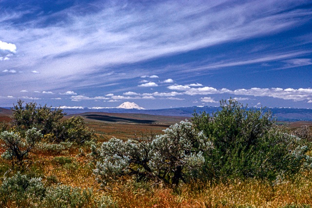
Leaving Mt. Rainier we headed east. The landscape in eastern Washington is much different from that in the west. The Cascade Mountains strip the moisture from the clouds that try to get over them and deposit it as rain and snow. What little is left makes eastern Washington quite dry; some areas are considered high desert. The remains of ancient lava flows show up as columnar basalt in the sides of cliffs. At a stop in central Washington we could look north and see the tops of the North Cascades in the distance. Looking west we could see the still-visible, but now much smaller, Mt. Rainier. Then we continued heading east.
