The Trip – Part 6: Into the land of slick rock and canyons
If you like amazing geology and unbelievable scenery to go along with your camping and hiking, then I would recommend taking a trip to Utah. Our first stop was Arches National Park, just a few miles from Moab.
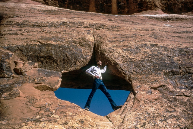
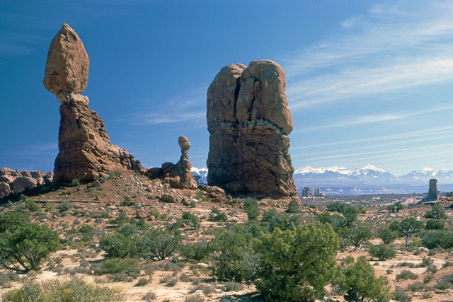
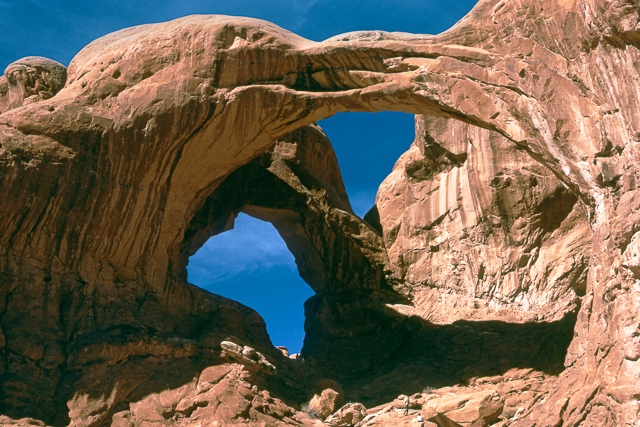
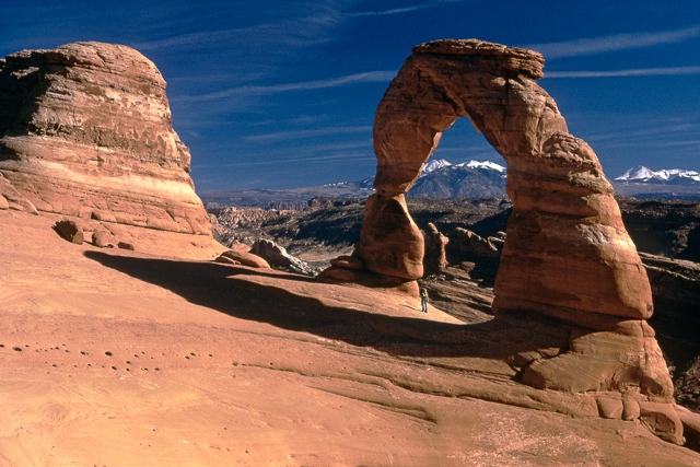
It’s difficult to visit Arches without feeling an overwhelming desire to hike. What’s around the next bend? What’s over the next ridge? How big will the next arch be? We enjoyed hikes in the Devil’s Garden, through the Windows Section of the park, and out to the aptly-named Delicate Arch. If you look closely in the Arches slide show below, the picture of Kathy standing below Delicate Arch (image 4/4) will give you some idea of the size of that beautiful formation.
We also hiked in the Fiery Furnace, where it is so easy to get lost that you can only go on a ranger-led hike. The day we went I was very glad we had a ranger along. A rattlesnake was sitting on the trail soaking up the sun. The ranger simply borrowed someone’s hiking stick and relocated the slightly annoyed serpent.
For the next month we wandered from place to place and were immersed in the geological wonderland known as the Colorado Plateau. This area surrounding the Four Corners has the largest concentration of National Parks and Monuments in the US. There are currently 10 National Parks and 17 National Monuments in this region. There weren’t quite that many in 1973 but there were still plenty.
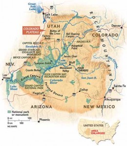
In addition to Arches, we visited the following State and National Parks before finally leaving Utah. Note that Mesa Verde was a side trip into southwest Colorado. I don’t have the time or the room to write about all of these places so I’ll just hit a few high points that I recall. You can click on the links to get more information about these parks.
Dead Horse Point State Park
Newspaper Rock State Historical Site
Canyonlands National Park
Mesa Verde National Park (Colorado)
Natural Bridges National Monument
Capitol Reef National Park
Bryce Canyon National Park
Zion National Park
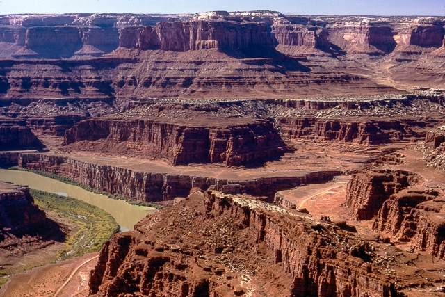
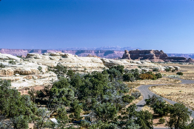
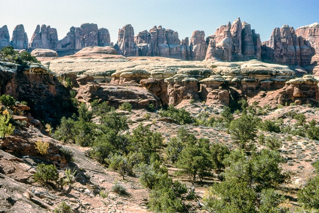
From Dead Horse Point we could look 2000 feet down to the Colorado River and out across the landscape that makes up Canyonlands National Park. Wild mustangs used to be herded out onto this point and captured by fencing the narrow spit of land that leads to this promontory. Canyonlands National Park surrounds the confluence of the Colorado and Green Rivers, which divides the park into separate regions. We camped in the Needles District and, in late October, were the only people staying in the campground. The park was only 9 years old then so it was not very developed, a feature that we found appealing. On some of the hiking trails we had to watch carefully for rock cairns because there were no visible paths across the large areas of slickrock.
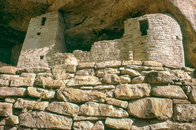
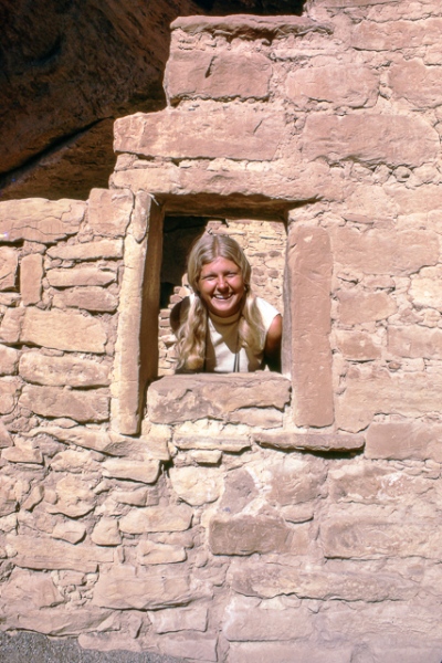
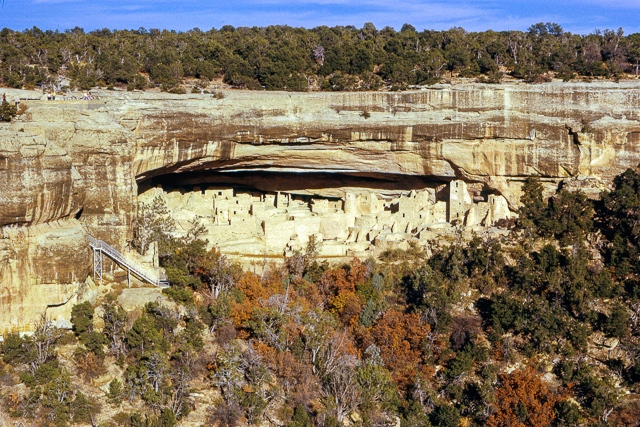
Mesa Verde is not really about geology, it’s the largest archaeological preserve in the United States. The Pueblo People that lived in this area from about 600 – 1300 AD are known as the Anasazi. During the latter part of their stay in this region they built large and intricate dwellings in cliffs lining the canyons. According to the park rangers, the dwellings known as “Cliff Palace” is thought to be the largest of this kind in the US. Touring these dwellings can give you some idea of what life must have been like at that time. What it was really like, however, is very hard to imagine.
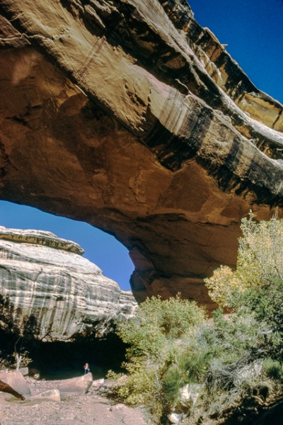
Natural Bridges National Monument was at the end of a long dead-end gravel road. Only a few other campers were there. About a week before I had written to my father telling him that we could call him on a certain night. That night happened to be while we were at Natural Bridges. I was unable to find a pay phone so I asked the ranger where I could find one. He informed me that there were no phones in the park. His only connection with the rest of the world was via radio. When I explained that my father was expecting me to call, the ranger told me to come over to this trailer in the evening and use his radio. He initiated the call and explained that when I finished saying something I had to say “Over” and then let go of the button on the microphone to hear the reply. It was awkward and just like in the old movies but at least I was able to call home. The Monument, by the way, contains three bridges and they are huge. Once again, look for Kathy standing below a bridge in the slide show below.
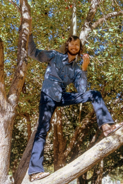
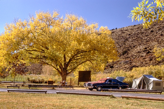
Capitol Reef was a nice break. We did some hiking but we also relaxed in a beautiful campground that was located in an apple orchard. Settlers in the area planted many orchards to grow fruit as a cash crop and the Park Service now maintains these orchards on the National Register of Historic Places. We were there in October and the apples were at their peak. Our favorite treat was to slice up an apple, place it between two slices of bread along with butter, cinnamon and sugar, and grill it in a “Toas-Tite.”
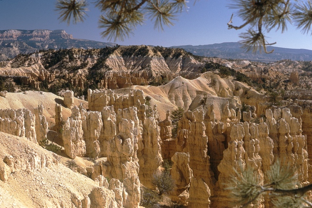
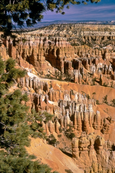
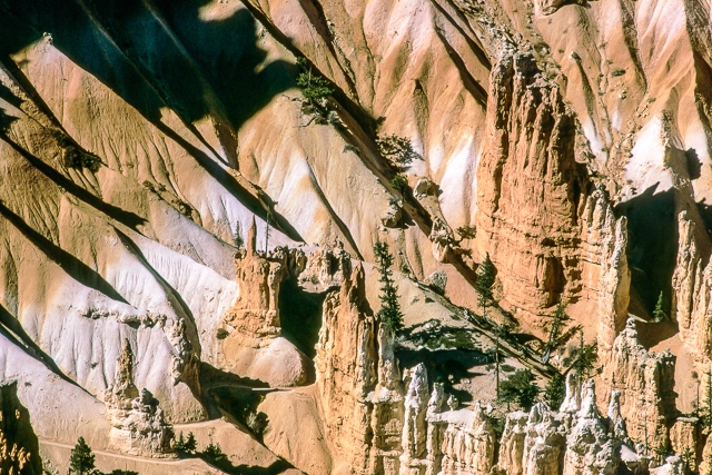
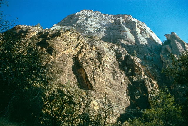
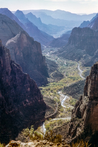
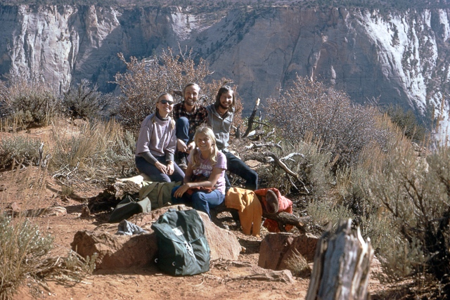
I would have to say that my two favorite places in Utah are Bryce Canyon and Zion National Parks. They are very close to each other but, when it comes to scenery, they are worlds apart. Bryce is a high plateau (over 9000′ above sea level in places) below which lie tan and orange formations that look like drip castles that kids make on the beach. Erosion of the heavily-eroded soft rock in the area creates these formations. After viewing them from the plateau we had to hike down into this fairyland. Had I run into Alice and the Cheshire Cat I would not have been surprised. Zion, on the other hand, is a gorgeous canyon carved into sandstone by the Virgin River. The vegetation along the river is lush. While in Zion we ran into our friends Jack and Merike from Madison (we had lived in the same apartment building). We decided we would travel together to the Grand Canyon and hike to the bottom — and hopefully back out — together.
